Friday San Juan River rose 3 feet above last year’s 100-year flood
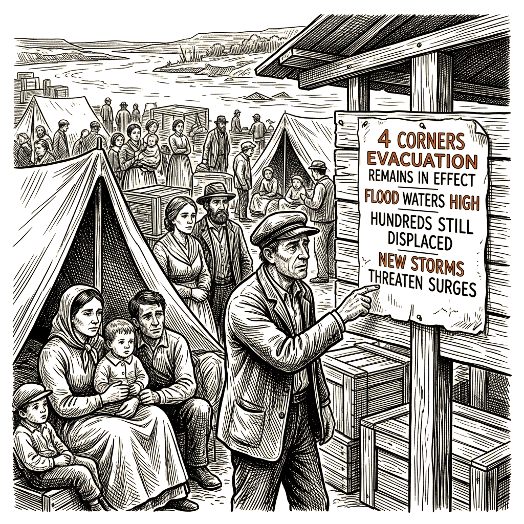
By Saturday, the Four Corners flooding had begun to ease in some places without resolving the danger. The San Juan River and other streams were receding from record highs, yet hundreds of homes remained evacuated and without electricity, authorities kept evacuation orders in place and warned that additional storms could send new surges through saturated ground. Authorities in Colorado and New Mexico had told residents of low-lying areas to leave while urging others to remain where they were until water levels dropped. Some roads had become impassable on Friday. Farmington Police Chief Steve Hebbe said, “This is not over, and we need you to monitor alerts.”
The flooding affected some 2,000 people in and around Farmington, the area’s biggest city, which has about 46,000 residents, officials said. Officials said at least a couple hundred people had needed rescue, but the number was too high for busy officials to keep an accurate count. Rains picked up Wednesday, and the flooding culminated Thursday and Friday. Some residents were stranded on rooftops.
New Mexico National Guard helicopters carried out 11 hoist operations, each hauling as many as eight people to safety, San Juan County spokesperson Devin Neeley said. Earlier in the response, rescuers used New Mexico National Guard boats, helicopters and amphibious vehicles Thursday night and Friday to reach people cut off by floodwater. Neeley said, “We’re picking people off of roofs and pulling people out of houses that have 3 or 4 feet (1-1.5 meters) of water in them, and there’s more water coming.” Deputies were still trying to reach people in flooded homes Friday. “This is serious. We’re still sending deputies as I speak to get people out of their homes right now. In fact, our sheriff is damn near going to lose his home today,” Neeley said.
Some 600 Farmington households were told to evacuate, city spokesperson Gina Intoppa said, and hundreds of residents along the San Juan River received evacuation orders. Evacuees included the wife and three children of Tyler Scartaccini, who stayed behind to watch his property while water reached the porch and entered the garages. “I felt like we were in a very safe place and now I don’t feel that so much,” Scartaccini said.
Shelters were not full, leading officials to suspect that most evacuees were staying with friends and family. Even after water levels fell, evacuations remained in effect until officials deemed it safe for people to return. Potential hazards included downed power lines, leaking gas lines and the likelihood of further storms through the weekend. San Juan County Sheriff Shane Ferrari said, “There’s a lot of anxiety, and there’s a lot of frustration,” adding, “But please understand we are blocking those areas for your safety.” Officials in Colorado and New Mexico also asked people not to fly drones to check on their property or sightsee because the activity can endanger rescue aircraft. They asked people not to use 911 except for true emergencies.
Downstream from Farmington, the San Juan River flooded parts of the vast Navajo Nation. Earlier, Navajo Nation Deputy Police Chief Donnie Kee urged residents to prepare before floodwaters that were not expected to peak until late Friday or early Saturday. “Do not wait to make your evacuations. Make your preparations for yourselves, your families, as well as your animals,” Kee said during a news conference. By Saturday, a 2-mile (3.2-kilometer) stretch of U.S. Highway 64 west of Shiprock was closed with water on the roadway.
Earlier Friday, even as rain stopped at least temporarily in some places, rivers were still rising. Farmington Police Chief Steve Hebbe said higher water was coming through the Animas River, a San Juan tributary that flows south from rain-soaked Colorado. “People are not believing that it’s going to be as bad as it is. But you can see the water flow coming, you can see the surge coming,” Hebbe said, calling the flooding a “once in a generation” event.
In southern Colorado, the flooding was worse than forecast on Friday, and the San Juan River stood a full 3 feet above a 100-year flood from a year earlier. National Weather Service forecaster Frank Pereira in College Park, Maryland, said rainfall topped 5 inches (12.7 centimeters) in the Pagosa Springs area of south-central Colorado. By Saturday, the milkshake-brown San Juan River was raging through Pagosa Springs, the hot springs resort town, at a level unseen in over a century. The flood was well over 2 feet (60 centimeters) higher than the 100-year flood from just over a year earlier.
The Animas River raged in a muddy torrent through Durango, a southwestern Colorado tourist city, though it remained below records dating back over a century. Flooding extended as far east as the Conejos River in south-central Colorado, and Gov. Jared Polis added Conejos County to a list of places eligible for disaster help. Polis had declared a disaster emergency in 11 counties.
Colorado National Guard rescuers used a helicopter Friday to hoist two people and their three dogs from a partially submerged recreational vehicle. Archuleta County sheriff’s officials said the group had driven onto a flooded road while trying to escape the high water and was washed into a river. Authorities were assessing who else needed help, including many residents whose homes were not flooded but who had been cut off by floodwaters. Archuleta County Sheriff Mike Le Roux called the amount of water “unprecedented” and said it had caused a lot of damage, but he was not aware of any deaths or serious injuries.
In nearby Rio Grande County, trailers at a campground were surrounded by water, while trucks were partially submerged in other areas. A Friday list of Colorado roads closed because of runoff damage included U.S. 550 between Silverton and Ouray, a scenic, high-elevation route known as the “Million Dollar Highway.” By Saturday, the route known formally as U.S. 550 had reopened between Durango and Ouray after crews addressed an area of water damage. Other routes, including U.S. 160 northeast of Pagosa Springs, remained closed.
In Hurricane in far southwestern Utah, a shipping container drifting down a street gave way Friday to a mess of mud and debris as residents who had evacuated earlier in the week returned home. The risk shifted to southeast Utah, where streams ran fast and high and flood watches remained in effect into the weekend, National Weather Service meteorologist Alex DeSmet in Salt Lake City said.
By Saturday, more than 5 inches (13 centimeters) of rain had fallen in places after days of heavy rain, and water surging from the Colorado mountains had entered the New Mexico and Arizona desert. The broader flooding followed two months of on-and-off heavy rain that ended the summer drought in the region where Arizona, Colorado, New Mexico and Utah meet. Since Wednesday, a total of 4 inches (10 centimeters) had fallen in the already saturated area. More heavy rain was forecast for the weekend, with up to half an inch (1 centimeter) expected in northwestern New Mexico.
The latest flooding capped a week of severe weather in which rain swamped dozens of homes in Utah and tornadoes in Arizona blew off roofs, knocked trees onto houses and downed power lines. Other recent deadly flooding struck the Grand Canyon and areas of New Mexico after months of drought. Parts of the Southwest are rocky, have little vegetation and are naturally prone to flash flooding, but the recent rain had saturated the ground and made widespread flooding more likely. Forecasters said the moisture came from remnants of Pacific tropical systems that had come ashore.