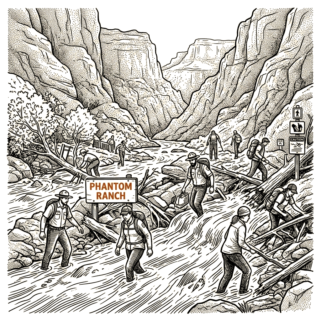
The National Park Service’s February advisory, issued after the Dragon Bravo wildfire scorched the North Rim, identified “the elevated potential for flash flooding and debris flows in the Bright Angel Creek watershed.” On Saturday afternoon, the Guardian reported, heavy rain swelled Bright Angel Creek and a flash flood killed two people and left at least 15 missing, the newspaper reporting that more than 60 were evacuated by air from the ranch and the bottom of the adjacent North Kaibab Trail.
Interest positions and the interests those positions serve. Several parties have positions on access to Phantom Ranch, and the underlying interests those positions serve diverge in instructive ways. The National Park Service, which manages the surrounding national park, has identified safety — and the agency’s role in warning the public of it — as the interest served by its February advisory and its characterization of flash flooding as “an inherent risk” in the canyon. Commercial operators tied to the ranch (mule rides, river-running outfitters, and lodge staff) hold a position favoring continued visitor access, with the underlying interest being the economic activity the ranch generates at a remote outpost more than a vertical mile below the South Rim. Visitors who hike, ride, or raft to the ranch hold a position that accepts the canyon’s documented dangers; the underlying interest is access to a wilderness experience that, the Guardian reported, “Hundreds of thousands of visitors who annually ‘peep over’ the rim…cannot see.” The shared-and-compatible interest across these positions is visitor safety. Whether the documented record supports a fuller polarity — between closure of the corridor and unfettered access — cannot be settled from the substrate, which names no party in either pole and supplies only the agency’s “inherent risk” framing alongside its February advisory.
The documented causal chain. The relationships in this incident are explicit rather than inferred. The Dragon Bravo wildfire caused a burn scar on the North Rim; the burn scar reduces the absorption capacity of the Bright Angel Creek watershed, producing the elevated flash-flood and debris-flow potential that NPS documented in February. That February advisory preceded the agency’s closure of the North Kaibab Trail from July through March of this year and the trail’s subsequent reopening — a sequence that enabled the visitor presence at the bottom of the trail on Saturday. Separately, heavy rain on Saturday caused swelling of Bright Angel Creek; the creek’s steep descent into the canyon as a tributary of the Colorado transformed that swelling into a flash flood through a mechanism NPS describes as inherent to the canyon’s topography. The flood reached Phantom Ranch because the ranch sits along Bright Angel Creek near its confluence with the Colorado — a fixed geographic fact that places the only lodge at the bottom of the canyon directly inside the flood corridor.
Beneath the headline event. Two branches are distinguishable in the documented record, though the article itself does not label them as contributing factors versus root causes; that taxonomy is applied below. Heavy rain is a contributing factor: it is a probabilistic trigger rather than a structural cause, and its occurrence cannot be prevented. Steep canyon topography is also contributing: it shapes how quickly rainfall translates into a flood, but it is a fixed property of the site and unalterable. The first root-cause branch runs through post-wildfire watershed hydrology: the Dragon Bravo fire altered the Bright Angel Creek watershed in a way that NPS itself identified as elevating flash-flood potential. Reduction of that alteration — through time, revegetation, and sediment stabilization — would reduce, though not eliminate, the magnitude of future flood events in the watershed. The second root-cause branch runs through the structural exposure of Phantom Ranch itself: a single lodge, at a fixed site along a flood-prone creek, at the terminus of long trail corridors from both rims. No proposed fix applied to the lodge or its operators would prevent recurrence so long as visitors are present in that corridor during a flood event; conversely, no proposed fix applied to the river or the watershed would prevent recurrence so long as the lodge sits where it does.
Limits of the documented record. The article establishes that NPS issued the February warning, that the trail was reopened in March, and that visitors were present at the ranch on Saturday. It does not establish whether NPS considered additional protective measures between February and Saturday, whether the ranch’s operators adjusted reservation policies in response to the advisory, or how visitor awareness of the February warning translated into decisions about Saturday presence. Whether commercial operators have a stake in maintaining summer bookings, and whether individual hikers adjusted their risk calculus on Saturday, are not established by the article.
NPS’s own February advisory, combined with the canyon’s documented flood hydrology and Phantom Ranch’s fixed position inside that hydrology, describes a chain in which a post-wildfire watershed, a steep tributary, and a lone riverside lodge converge.
Analytical techniques used in this piece
This analysis applies the methods below. Each links to a short, plain-English explainer you can read and reuse.
- Interest Mapping
- Separates parties’ stated positions from their underlying interests (Fisher & Ury).
- Relationship Mapping
- Extracts the network of ties among people, institutions, and entities.
- Root-Cause Analysis
- Traces a symptom back along its causal chain to the conditions that actually generated it.