Summary
- Hurricane Isaias’s formation as the first 2026 Atlantic hurricane on October 8, 2026 places documented pre-landfall decisions by Florida Gov. Ron DeSantis, Shell, and BP on a shared uncertainty range that NHC leaves open on intensity, exact landfall point, and surge magnitude.
- Florida Gov. DeSantis declared a state of emergency for 25 counties on Tuesday, two days before NHC’s formal hurricane classification, with state emergency teams staging generators, fuel, food, water, and flood barriers in Tallahassee, Santa Rosa, and surrounding areas, per CNN reporting cited in the UPI wire.
- Shell and BP are evacuating nonessential personnel from Gulf of Mexico offshore platforms, per CNN reporting cited in the UPI wire, accepting bounded evacuation costs against unbounded platform damage, worker injury, and environmental release risks.
- NHC’s documented intensity forecast — a Category 1 storm that “could weaken” before landfall via higher coastal wind shear — frames a probability range whose three intensity-axis scenarios and four-track-by-intensity regimes differ on whether the weakening hedge materializes, the storm intensifies, or the track shifts east or west within the warning area.
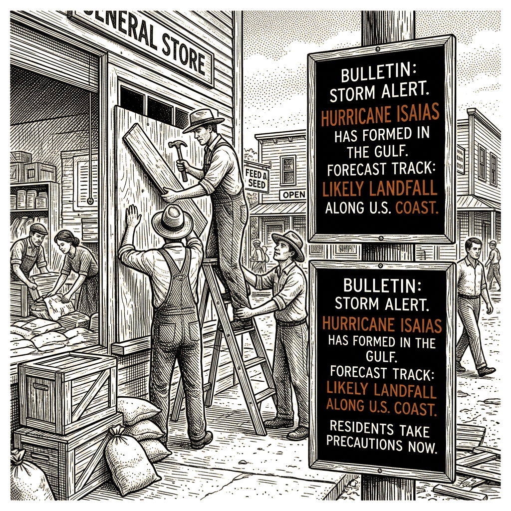
The National Hurricane Center reported late Wednesday October 8, 2026 that Hurricane Isaias formed in the Gulf of Mexico as a Category 1 storm with maximum sustained winds of 75 mph, becoming the first Atlantic hurricane of the 2026 Atlantic season despite strong El Niño conditions that typically suppress Atlantic activity. NHC’s 1 a.m. CDT update placed the storm approximately 180 miles northwest of Progreso, Mexico, and 445 miles south-southwest of the mouth of the Mississippi River, moving east-northeast at 9 mph. According to NHC, “On the forecast track, Isaias is expected to pass to the north of the Yucatan Peninsula later today and make landfall along the U.S. northern Gulf Coast within the warning area late Friday or early Saturday.” A hurricane warning is in effect from Ocean Springs, Mississippi, to the Bay/Gulf County Line in Florida, with tropical storm and storm surge warnings covering additional coastal segments. Florida Gov. DeSantis declared a state of emergency for 25 counties on Tuesday, and Shell and BP are evacuating nonessential personnel from Gulf offshore platforms, per CNN reporting cited in UPI. Those documented pre-landfall decisions sit on a probability range that NHC leaves open on intensity, exact landfall point, and surge magnitude — a range whose three intensity-axis scenarios and four-track-by-intensity regimes the substrate names but does not fully resolve.
Storm status and the warning footprint
Isaias’s formation arrived in conditions typically unfavorable to Atlantic hurricane genesis. NHC attributed development to “low wind shear in the Gulf is benefiting Isaias” — an exception to the basin-wide suppression pattern that a strong El Niño typically produces via increased wind shear. The wire reports the wind shear mechanism twice and asymmetrically: the weakening pathway is hedged (“higher wind shear closer to the Gulf states could weaken the storm before landfall”), while the intensification pathway is asserted as the storm’s current developmental driver (“low wind shear in the Gulf is benefiting Isaias”). NHC’s forecast also tracks a turn: storm to “continue on its east-northeast path overnight, followed by a turn toward the northeast and north later Thursday and Friday.”
The warning footprint brackets the populated northern Gulf coastline along four overlapping segments. A hurricane warning spans Ocean Springs, Mississippi, to the Bay/Gulf County Line, Florida. A tropical storm warning covers the Jefferson/Plaquemines Parish Line in Louisiana to west of Ocean Springs, and from east of the Bay/Gulf County Line to the Aucilla River in Florida. A storm surge warning extends from the mouth of the Mississippi River to the Steinhatchee River in Florida, with a storm surge watch from the Steinhatchee River to Yankeetown, Florida. The substrate does not specify a predicted surge magnitude.
NHC’s rainfall projection: 3 to 7 inches across the central U.S. Gulf Coast from far southeastern Louisiana to the Florida Panhandle, with local totals up to 10 inches. Rainfall of 1 to 3 inches is projected across much of the Southeast, extending into the Tennessee and Ohio valleys and the Carolinas, per USA Today reporting cited in the wire, with localized amounts up to 5 inches. Flash flooding, urban flooding, and some river flooding are documented as possibilities across that regional footprint, with heavy rain potentially moving into the Ohio Valley as far north as Kentucky and West Virginia before reaching the Carolinas and southern Virginia.
Documented pre-landfall decisions
Two distinct decision-makers have committed resources on the same uncertainty range.
Florida’s emergency declaration, per CNN reporting cited in the UPI wire: Gov. DeSantis declared a state of emergency for 25 counties on Tuesday, telling residents to prepare disaster plans and stock hurricane supply kits. State emergency teams are preparing generators, fuel, food, water, and flood barriers in Tallahassee, Santa Rosa, and surrounding areas. The decision’s documented temporal asymmetry is structural — the emergency declaration arrived Tuesday, before Wednesday’s formal hurricane classification. The state’s expenditure on staging and forward operating risk mitigation was committed on a tropical-storm-or-weaker forecast envelope, not on the documented Category 1 intensity now in effect. The structural branching on documented state action: if the storm underperforms, the documented expenditure is staged for redeployment or modification; if the storm intensifies, the documented resources are positioned.
Shell and BP’s offshore evacuations, per the same CNN reporting cited in the UPI wire: both operators are evacuating nonessential personnel from Gulf of Mexico offshore platforms. The structural pattern is bounded-versus-unbounded risk: documented evacuation costs are bounded (lost production hours, transport logistics), while non-evacuation risk is unbounded (platform damage, worker injury, environmental release). The “nonessential” category invokes the industry-standard protocol that distinguishes personnel whose departure removes platform risk from those whose departure relocates it; the substrate does not disaggregate which employment terms, contractor relationships, or immigration statuses fall on either side of that line.
Documented flow recipients span multiple layers. From the emergency declaration: state emergency-management vendors and contractors receiving staging contracts; Florida taxpayers in the absence of a federal disaster declaration; coastal property owners facing property damage exposure. From the offshore evacuations: the same operators through deferred Gulf production; Gulf-state tax bases through deferred severance and royalty revenue; platform service contractors. The emergency declaration activates funding and contracting channels whose downstream recipients — debris-removal firms, generator suppliers, post-landfall construction contractors — typically surface in post-event reporting rather than pre-landfall coverage. Insurance carriers and reinsurance markets recalibrate Gulf exposure in real time during active landfall windows, distributing cost across future policyholders.
The two decisions diverge in information velocity. Florida’s Tuesday declaration was committed on the prior forecast envelope; from that point forward, NHC’s six-hour intermediate forecasts and real-time wind shear observations are the substrate-named leading indicators that would let an observer discriminate among the scenarios. The information velocity differs because one decision is committed (already priced into the state budget and contracting channels), and the other — intensity at landfall, surge magnitude, exact landfall point — remains open.
Probability calibration and scenarios
NHC’s inside-view position is a Category 1 storm that “could weaken” before landfall, with wind shear as the substrate-named variable. The substrate does not specify base rates, and the calibration discipline is silent on reference class. Three reference classes bear on the forecast: El Niño-era Atlantic seasons, in which season totals typically fall below long-term averages because of basin-wide wind shear, and in which Isaias’s status as the first hurricane of 2026 reads as an outlier; late-season (October) Atlantic hurricanes regardless of ENSO state, where the broader base rate applies and seasonal climatology effects moderate; and Category 1 Gulf landfalls specifically, where intensity retention at landfall depends on track-relative shear and sea-surface temperatures — variables the wire identifies but does not quantify. The reference class itself is thin and the magnitude of suppression varies by vintage.
The substrate’s directional evidence frames a probability range whose documented center sits at persistence-with-shear-modest-weakening, with the named wind-shear mechanism as the leading indicator. Within that probability range, three intensity-axis scenarios organize the forecast:
Scenario A — status-quo forecast: Isaias makes landfall as a Category 1 hurricane within the warning area late Friday or early Saturday, with documented rainfall and storm-surge profiles applied as forecast.
Scenario B — shear weakening: higher wind shear near the coast weakens Isaias to tropical storm strength before landfall. The hurricane warning area would likely be downgraded; the storm-surge warning would likely remain in effect; wind damage would be reduced; rainfall damage would not necessarily be reduced.
Scenario C — intensification: warm Gulf waters and lower wind shear over the central Gulf allow Isaias to reach Category 2 or higher before landfall. The substrate names this scenario only as the inverse of the weakening hedge and does not specify a probability.
A four-regime track-by-intensity matrix layers on top of those scenarios: east-leaning toward the Florida Panhandle (Bay/Gulf County Line) with Category 1 maintained, where that segment takes the direct hit and the storm-surge warning from the mouth of the Mississippi River to the Steinhatchee River drives the broadest surge footprint; east-leaning, weakened to tropical storm, shifting conditions toward lower-end wind with rainfall as the dominant risk; west-leaning toward Mississippi (Ocean Springs) with Category 1 maintained, where the Mississippi coast takes the direct hit and inland weakening would likely begin earlier; and west-leaning, weakened, with impact concentrating in rainfall and surge at a lower category.
An additional regime runs orthogonal to the track matrix: rapid intensification en route, despite the wind shear NHC flagged as a weakening mechanism. Northern Gulf sea-surface temperatures can support such intensification, observable in falling central pressure across successive NHC updates. Should that development unfold, intensity within all four track cells shifts one category higher. Track-direction signals worth monitoring are substrate-named: whether the system holds its east-northeast lane or curves toward the northeast and north earlier than projected per the NHC forecast.
Robust pre-landfall actions across regimes
Flood-barrier deployment, generator and fuel positioning in Tallahassee, Santa Rosa, and surrounding counties, and coastal evacuation within the warning zone sit in the robust class — applicable regardless of which scenario materializes. The state’s preparation of “generators, fuel, food, water and flood barriers” in those locations sits in the robust class for the same reason. Track-specific warnings, surf-zone closures, and surge-zone evacuation depth, by contrast, vary by regime and depend on correctly identifying which is unfolding. The substrate’s named discrimination mechanism between the regimes — track-direction signals and wind shear observations over the northern Gulf — is the same mechanism that the substrate names as the storm’s own weakening variable.
How the substrate frames the situation
The substrate frames Isaias as an outlier via “first hurricane of 2026 Atlantic season despite a strong El Niño.” The substrate’s named variable (wind shear) is asymmetrically weighted in the NHC language: the weakening pathway is hedged (“could weaken”), while the intensification pathway is named (“low wind shear… benefiting Isaias”). The substrate does not specify base rates, and calibration discipline is silent on reference class. The substrate does not disaggregate populations bearing differential cost profiles — the 25 Florida counties under the state of emergency; residents inside the warning area from Ocean Springs, Mississippi, to the Bay/Gulf County Line; downstream flood-zone communities in the Tennessee and Ohio valleys named only in passing. The substrate names industry evacuation protocols but does not enumerate downstream insurance or reinsurance cost-distribution mechanisms. The track-direction signals named by the substrate — whether the system holds its lane or curves earlier than projected — are the substrate’s own discrimination mechanism between the regimes.
Surfaced tension
Two complementary scenario taxonomies organize the substrate differently. One organizes by intensity axis alone (persistence, weakening, intensification). The other organizes by a two-by-two track-by-intensity matrix with rapid intensification as an orthogonal modifier shifting intensity across all four cells. The two are not competing; both preserve the substrate-anchored directional reading (NHC “could weaken” hedge, named wind-shear mechanism), and both leave the substrate-unspecified surge magnitude as an open uncertainty.
Analytical techniques used in this piece
This analysis applies the methods below. Each links to a short, plain-English explainer you can read and reuse.
- Cui Bono — Who Benefits
- Asks who gains and who pays from a state of affairs, decision, or claim.
- Probabilistic Forecasting
- Puts calibrated probabilities on what happens next.
- Scenario Planning
- Builds a small set of distinct, plausible futures to plan against.