Florida governor declares state of emergency for 25 counties
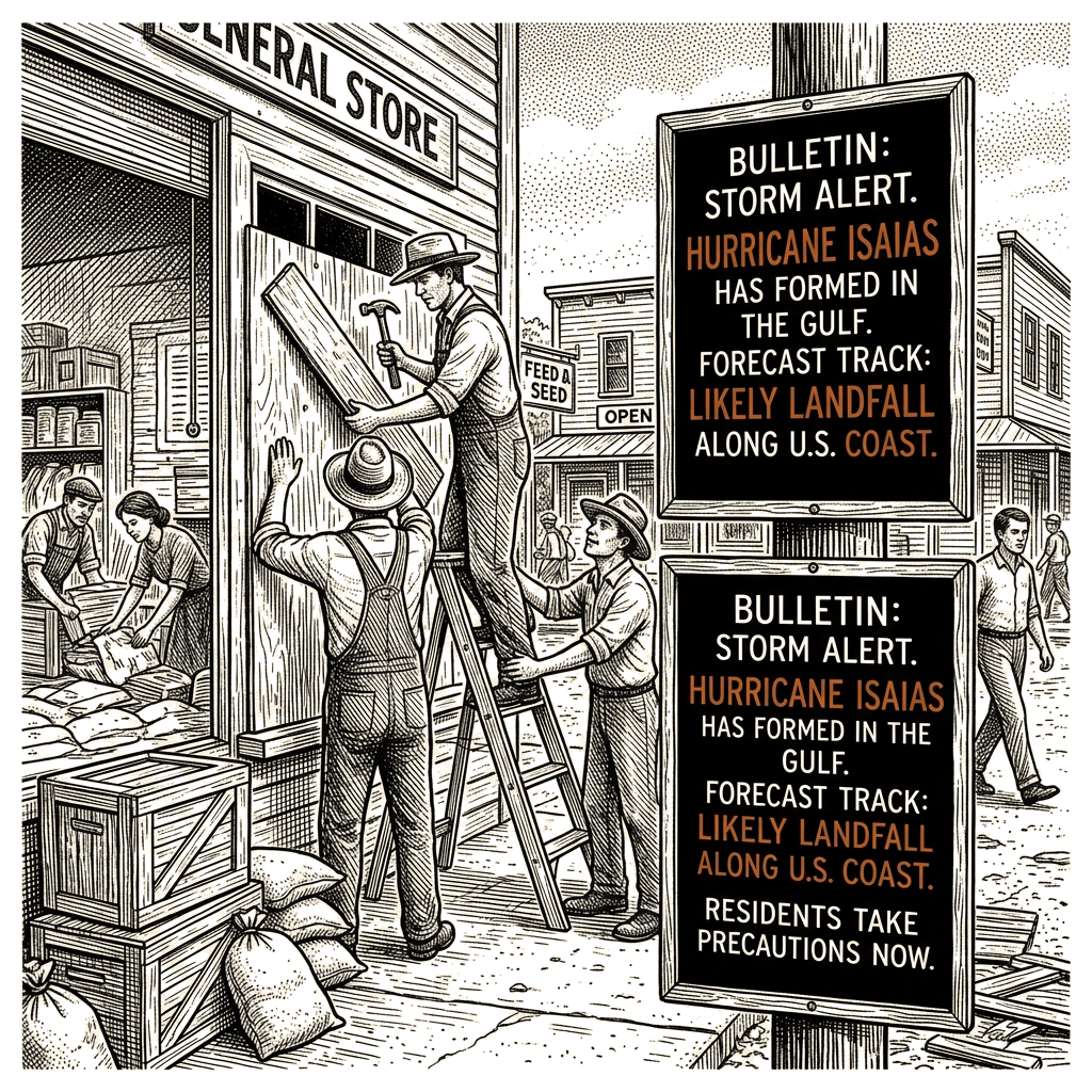
Hurricane Isaias, the first hurricane of the 2026 Atlantic season, formed in the Gulf of Mexico late Wednesday and is forecast to make landfall along the U.S. northern Gulf Coast this weekend, the National Hurricane Center said. The Category 1 storm had maximum sustained winds of 75 mph and was moving east-northeast at 9 mph, with hurricane warnings in effect from Mississippi to Florida.
In a 1 a.m. CDT update, the hurricane center located Isaias about 180 miles northwest of Progreso, Mexico, and 445 miles south-southwest of the mouth of the Mississippi River. “On the forecast track, Isaias is expected to pass to the north of the Yucatan Peninsula later today and make landfall along the U.S. northern Gulf Coast within the warning area late Friday or early Saturday,” the center’s forecasters said. The storm is expected to continue on its east-northeast path overnight, followed by a turn toward the northeast and north later Thursday and Friday.
A hurricane warning is in effect from Ocean Springs, Mississippi, to the Bay/Gulf County Line in Florida. A tropical storm warning covers the Jefferson/Plaquemines Parish Line in Louisiana to west of Ocean Springs, and from east of the Bay/Gulf County Line to the Aucilla River in Florida. A storm surge warning is in effect from the mouth of the Mississippi River to the Steinhatchee River in Florida, with a storm surge watch extending from the Steinhatchee River to Yankeetown, Florida.
Isaias is the first hurricane of the year in the Atlantic basin despite a strong El Niño. Wind shear in the Atlantic has kept hurricanes at bay so far this season, but low wind shear in the Gulf is benefiting Isaias. However, higher wind shear closer to the Gulf states could weaken the storm before landfall.
Through the weekend, Isaias is expected to bring 3 to 7 inches of rainfall across the central U.S. Gulf Coast from far southeastern Louisiana to the Florida Panhandle, with local totals of up to 10 inches, according to the hurricane center. Rainfall amounts of 1 to 3 inches, with localized amounts up to 5 inches, are possible across much of the Southeast, extending as far north as the Tennessee and Ohio valleys and the Carolinas. Flash flooding, urban flooding and some river flooding are possible. Heavy rain could also move into the Ohio Valley as far north as Kentucky and West Virginia before reaching the Carolinas and southern Virginia, USA Today reported.
Florida Gov. Ron DeSantis declared a state of emergency for 25 counties on Tuesday, telling residents to prepare their disaster plans and stock hurricane supply kits, according to CNN. State emergency teams are preparing generators, fuel, food, water and flood barriers in Tallahassee, Santa Rosa and surrounding areas.
In the Gulf of Mexico, oil companies are preparing for the storm. Shell and BP are evacuating nonessential personnel from offshore platforms, CNN reported.