Storm forecast to track across peninsula, reach US Southwest
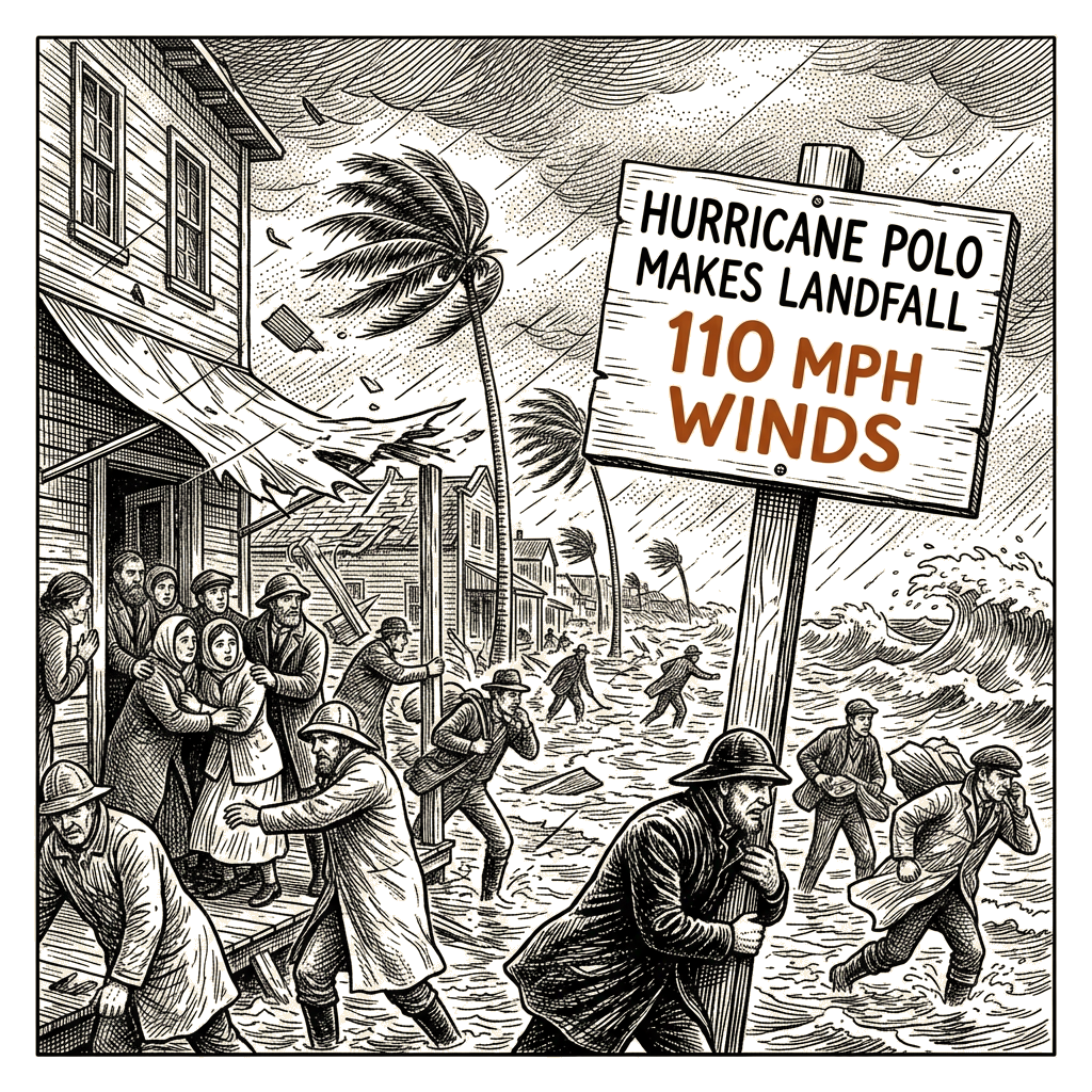
Hurricane Polo came ashore on Mexico’s northern Pacific coast just south of Las Barrancas, a fishing and surfing village in Baja California Sur, according to Mexican officials. The storm, which had been slowly moving toward Mexico’s coastline for days, arrived with maximum sustained winds of 110 mph and was tracking northeast on a path forecast to take its core across the peninsula and into the southern part of Sonora later Tuesday.
Residents in threatened areas were encouraged to seek shelter ahead of the storm. Shopkeeper María Palomino, 57, told AFP news agency that she spent the night at a high school that had been converted into a temporary shelter. “If something happens, it’s better to come to the shelter,” she said. A whale-watching and fishing guide who was boarding up the facade of his home told AFP the storm was “coming with full force.”
The US-based National Hurricane Center said Polo was expected to weaken as it crossed the Baja California peninsula but was forecast to still be at hurricane strength when it made a second landfall in mainland Mexico. Meteorologists said the storm could dump between 6 and 12 inches of rain across parts of Baja California Sur, warning that the rainfall could produce life-threatening flooding and mudslides, especially in areas of steep terrain. The NHC added that a storm surge was expected to produce significant coastal flooding in areas of onshore winds, with the surge accompanied by “large and destructive waves” near the coast.
Even before Polo reached land, residents reported power cuts in Baja California Sur. The Associated Press reported that waves crested sea barriers in Puerto San Carlos, where many residents had been evacuated due to the threat. Flooding had already begun in parts of the peninsula. Meteorologists said dangerous surf and rip currents were likely to continue along portions of the northwestern coast of Mexico and Baja California for the next day or so. In Cabo San Lucas, authorities had restricted access to the beaches on Monday. The south of the peninsula is popular with tourists and serves as a base for surfers, sport fishers, and whale watchers.
Meteorologists said the storm was being fueled by extremely warm waters caused by the El Niño climate phenomenon, which they said has produced a more active hurricane season in Pacific waters. As Polo moves northeast, forecasters expect its remnants to be absorbed along with the remains of Hurricane Odalys into a separate weather system already bringing rain to Arizona and California. The combined system is forecast to push east across the southern plains, sending a surge of tropical moisture northward and producing excessive rainfall and flash flooding. Some spots could see as much as 6 or 7 inches of rainfall by Thursday, with Arizona, New Mexico, Colorado and Utah affected into Tuesday.