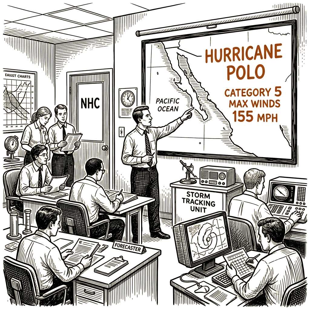
Storm expected to make landfall on the Baja California Peninsula Monday
The National Hurricane Center said Saturday that Hurricane Polo restrengthened to a Category 5 storm with maximum sustained winds of 155 mph, and the system is on a path to make landfall on the Baja California Peninsula on Monday.
In its 8 a.m. MST update, the Hurricane Center placed the storm about 365 miles south-southwest of Cabo San Lucas, Mexico, and about 480 miles south of Cabo San Lazaro. The storm was moving west-northwest at 9 mph, the agency said. A Category 5 hurricane carries winds of at least 157 mph.
The Hurricane Center said Polo is expected to turn toward the northwest on Saturday, then shift northward on Sunday, and by Monday turn northeastward and approach Baja California Sur.
“Watches will likely be required for the east coast of the Baja California Peninsula later today,” the Hurricane Center said. “Interests in portions of northwestern mainland Mexico should monitor the progress of Polo. Watches may be required for that area tonight or early Sunday.”
The storm is forecast to produce 4 to 8 inches of rain across portions of Baja California Sur, with isolated totals up to 10 inches. The rainfall could produce life-threatening flooding and mudslides in the region, according to the Hurricane Center.
Southwestern Mexico is also expected to experience surf swells, including possible life-threatening rip currents, the agency said.