Thursday school closures, hospital hallway flooding and San Francisco’s 2.28-inch rain record
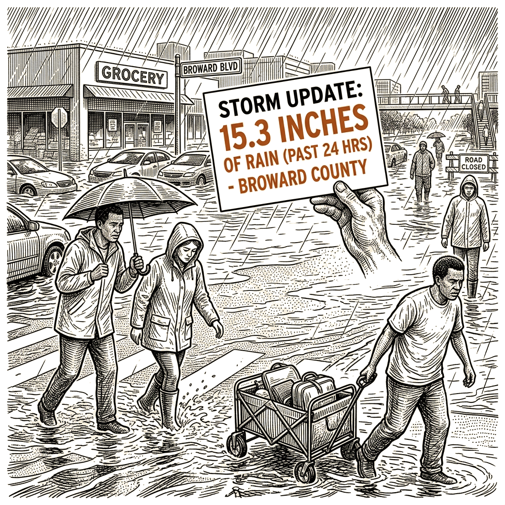
Preliminary figures showed 15.3 inches (39 centimeters) of rain in a 24-hour period ending Wednesday in parts of Broward County, the National Weather Service said. In Fort Lauderdale, 5.72 inches (14.5 centimeters) fell in a downpour ending early Wednesday, breaking the city’s daily record of 1.8 inches (4.5 centimeters) set in 1959, Alejandra Garcia, a meteorologist with the National Weather Service in Miami, said. The highest rainfall amount was recorded in Plantation, where resident Jade Jaime said the storm kept going all day “and then by the time we went to sleep at night, still just pouring down like it was never going to end.”
Officials announced that schools would close Thursday in Broward and Miami-Dade counties. Heavy rain damaged the roof of a local hospital and flooded its hallways, and no injuries were reported. Rudy Taillard flew back from Texas on Tuesday night to find his Hollywood apartment complex flooded.
“It was insane. The water kept going up,” Taillard said. “If you were living on the first floor, like, you were cooked. It was pretty brutal. Thank God I’m on the top floor.”
South of San Francisco, a 47-mile (76-kilometer) segment of Highway 1 near Big Sur was closed Wednesday because of the risk of debris flows. San Francisco set a daily rainfall record with 2.28 inches (5.8 centimeters) of rain. Heavy rain and high winds grounded planes at the city’s airport, disrupted ferry service and flooded roads in Napa County and other wine country areas north of the city. Several highways were blocked by flooding or debris in Napa, Marin, San Mateo and Santa Clara counties, according to the California Department of Transportation and the California Highway Patrol.
Areas along the Embarcadero were flooded as waves crashed over barricades recently installed to prevent flooding near the Ferry Building, a waterfront landmark. Officials canceled several ferries leading from the city because of the storm. The Los Angeles County Fire Department issued an evacuation warning through Friday morning for the Palisades, Hurst and Sunset burn scar areas, warning of a risk of debris flows as a storm approached.
The National Weather Service’s long-range forecast showed heavy rain was possible along the Atlantic seaboard in Georgia and South Carolina on Saturday, from North Carolina to New York’s Long Island on Sunday, and into New England on Sunday and Monday.
A slow-moving storm system also flooded roads, submerged cars and prompted Hollywood to declare a state of emergency Wednesday. Mayor Josh Levy urged motorists to stay off roads and avoid unnecessary travel as high water and stalled vehicles closed portions of the Florida Turnpike and Interstate 95 in the city. The city said it received more than 300 calls for service overnight.
“It’s a historically significant rainfall event in the city,” Levy said. Levy said some residents complained that motorists driving too fast created wakes that pushed floodwaters into their homes. Heavy rains also collapsed the roof of Temple Sinai in Hollywood.
The Florida Division of Emergency Management said in a Tuesday-night advisory that “potentially catastrophic” amounts of rainfall could cause flash flooding, life-threatening rip tides and expected minor beach erosion due to high surf. The National Weather Service expected the threat to last through Friday along Florida’s Atlantic Coast, with additional rainfall amounts of 12 inches (30 centimeters) possible.
The natural warming cycle called El Niño has disrupted Florida’s typical dry season, which runs from October to May, Garcia said. El Niño is “helping bring these low pressure systems down toward the southeastern United States, which in turn is causing these heavy precipitation events,” she said.
Ahead of the Thanksgiving holiday, a low-pressure system was expected to form near the northern Bahamas. It could become a subtropical or tropical storm over parts of the southeast and mid-Atlantic coasts into early next week, the National Hurricane Center in Miami said.
In northern Florida, a warning was issued for minor flooding along the St. Johns River.
Wind gusts of up to 50 mph (80 kph) were forecast for the East Bay region and up to 70 mph (113 kph) for the Altamont Pass, which connects Bay Area highways to I-5 in the Central Valley. Snow accumulations of up to 4 feet (1.2 meters) were forecast through Friday in the highest portions of the Sierra Nevada.
John Raby reported from Charleston, West Virginia. Associated Press contributors Olga R. Rodriguez, Cody Jackson and videojournalist Daniel Kozin contributed; Rodriguez was in San Francisco and Kozin in Hollywood, Florida.