Eight US states under flood watches as Polo’s moisture reaches Southwest
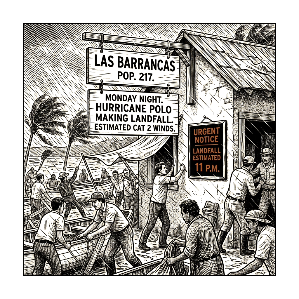
Polo made its first landfall in Mexico’s Baja California Sur late Monday as a Category 2 hurricane, bringing damaging winds and flash flooding to the peninsula, according to United Press International. The storm’s eye reached the coast near Las Barrancas on the peninsula’s west side around 11 p.m. local time, with dangerous winds of 96 to 110 mph.
On Tuesday morning, the storm was located about 35 miles west-northwest of Loreto, Mexico, with 80 mph winds and even higher gusts, UPI reported. Forecasters expected Polo to weaken slightly as it crossed the peninsula and then strengthen back to hurricane strength ahead of a second landfall in southern Sonora on Mexico’s mainland by Tuesday evening.
The interaction between tropical systems and existing low-pressure areas is responsible for most of the widespread heavy rain events in the Southwest during the seasonal shift from summer to fall, according to Michael Crimmins, a meteorologist and professor at the University of Arizona, who told The New York Times, UPI reported.
“The low pressure provides the mechanics and thermodynamics to create widespread and long-lasting lines of showers and storms and the tropical storms provide the abundant fuel,” Crimmins said.
Polo’s remnants were forecast to merge with an existing low-pressure storm system later Tuesday and bring extra moisture to a large portion of the western United States.
Flood watches on Tuesday covered all of Arizona and New Mexico, and parts of Texas, Colorado, Utah, Nebraska, Kansas and Iowa, UPI reported. Multiple flash flood warnings were issued overnight in Utah and Arizona.
In Bullhead City, Arizona, first responders conducted water rescues Monday evening after a vehicle became trapped in floodwaters, according to UPI.
UPI described Polo as one of the strongest storms ever measured in the Western Hemisphere.