USGS recorded 5.2 magnitude seismic event from landslide
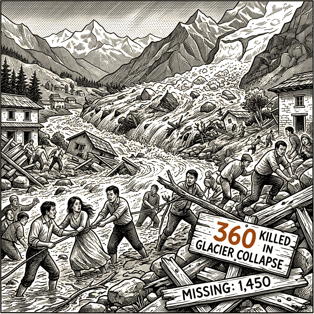
On Wednesday morning, a massive flood of mud, water and debris swept villages on both sides of the border between Nepal and China, killing more than 360 people and leaving around 1,450 missing, according to The Wall Street Journal.
Scientists believe the disaster was triggered when part of a glacier in the Langtang Lirung mountain area fell at approximately 16,000 feet, the Journal reported. The collapsing ice plunged some 4,000 feet into a valley below, pulverizing into water upon impact and creating a flood whose destructive power was amplified by rock debris carried along in the ice-and-rock avalanche.
The landslide was powerful enough to register as a 5.2 magnitude seismic event, according to the U.S. Geological Survey. Investigations into the precise mechanism are continuing. Given the sheer volume of the flood, scientists are also examining whether a chunk of the bedrock sustaining the glacier fell along with it — a scenario the Journal noted resembles a deadly 2021 landslide in India.
The wave first swept Gyirong Port, the customs checkpoint connecting Gyirong County in China’s Tibet region with Nepal’s Rasuwa district. Footage cited by the Journal showed buildings and people swallowed in a matter of seconds.
From Gyirong, mud, water and debris continued along the Trishuli River, hitting small villages and towns that serve as bases for trekkers and for Hindu and Buddhist travelers visiting mountain lakes the region considers sacred. Houses, schools, markets, bridges and hydropower plants were swept away.
The disaster is the latest in a series of Himalayan glacial events in recent years. Roughly a year ago, a glacial lake in Tibet overflowed after a large amount of ice melted, hitting the same Nepal-China border area with deadly floods. In 2023, a glacial lake burst in the northeastern Indian state of Sikkim, killing people and destroying a hydropower dam.
Warmer temperatures around the Himalayas have been increasingly causing floods unconnected to rainfall, the Journal reported.
Planet Labs imagery published by the Journal showed the glacier and the Lhende River before the ice fall, and the extent of mud and debris extending from the glacier down the river valley afterward. The Journal said its explanatory article may be periodically updated as investigations continue.