Florida Department of Transportation sends 30 assessment teams
Thirty teams from the Florida Department of Transportation are assessing damage in the Panhandle on Saturday. Some airports in the area have reopened. Northwest Florida Beaches Airport reopened to commercial service, but the Destin, Fort Walton Beach and Pensacola airports are still closed.
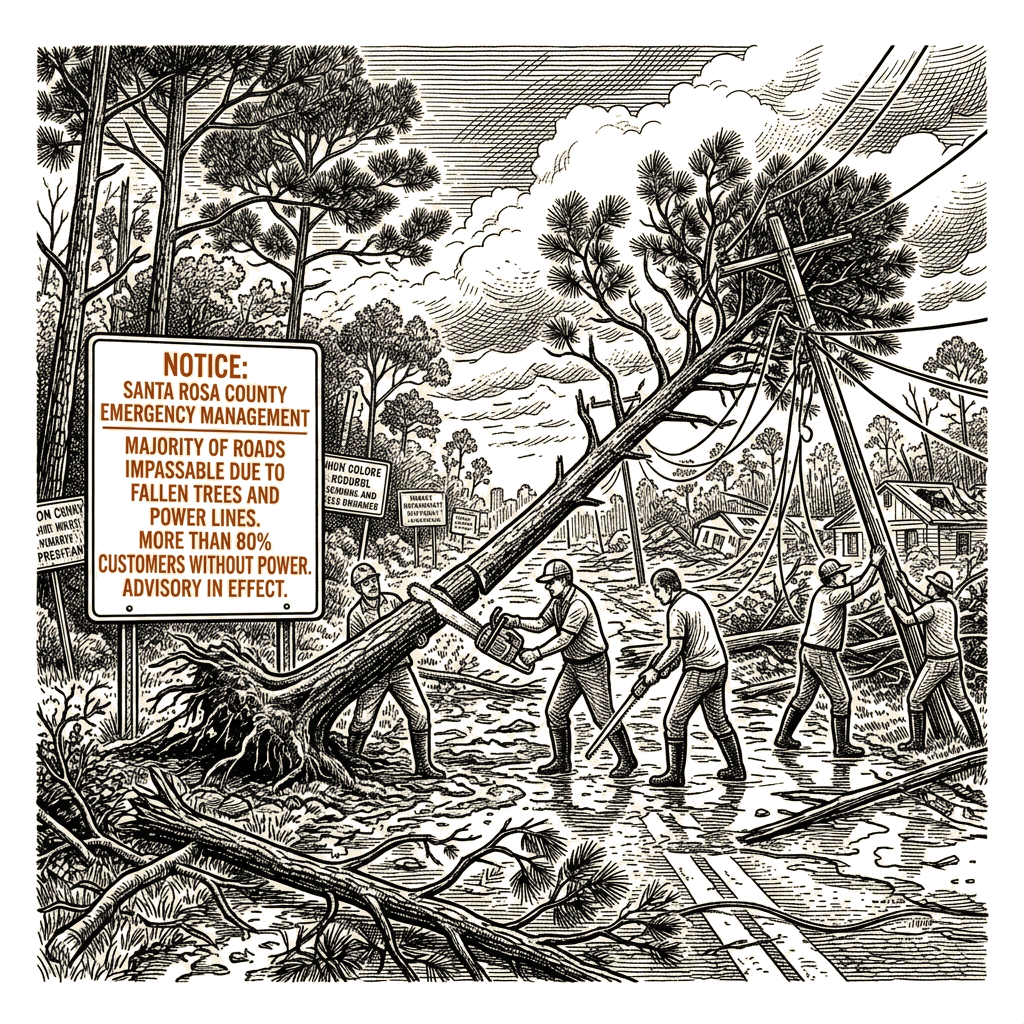
In Santa Rosa County, situated between Pensacola and Destin, emergency management said the majority of roads in the county are “impassable due to down trees and/or power lines.” More than 80% of customers were without power, and wind gusts rose to more than 100 mph Friday night.
“At first light, thousands of linemen and utility crews have convoyed from Sandestin and along the I-10 corridor to get to work, focusing on outages in the hardest hit communities,” Gov. Ron DeSantis said. “It was pitch black out. The storm had passed. It was safe enough to go out, and they were doing it,” he added.
Isaias came ashore near Destin, Florida, on Friday evening and was downgraded to a post-tropical cyclone, bringing high winds, rain and flooding. One person in Escambia County, Florida, died “due to a downed tree,” county officials said. Across the southeastern United States, about 860,000 people were without power Saturday, with trees and power lines down.
The National Hurricane Center, in its 4 a.m. CDT Saturday update, said heavy rainfall will move quickly into the Tennessee Valley and southern Appalachians, where flash flooding and landslides are possible, especially in mountainous areas. Isaias was about 105 miles south of Birmingham, Alabama, and about 25 miles south-southeast of Mobile, with maximum sustained winds of about 35 mph. No weather warnings remained in effect.
Through the weekend, Isaias is expected to bring 4 to 8 inches of rainfall across southern Alabama, the Florida Panhandle, the Big Bend region and southwest Georgia, with localized totals up to 15 inches also possible across the Panhandle and Big Bend. Forecasters expected the coastal Carolinas to receive 2 to 5 inches of rain, with localized totals up to 10 inches also possible. The remainder of the Southeast was forecast to get 2 to 5 inches. A risk for tornadoes will persist through Saturday afternoon across parts of the eastern Panhandle, Georgia and the Carolinas.
Isaias is the first hurricane of the year in the Atlantic basin, despite a strong El Niño. Wind shear in the Atlantic has kept hurricanes at bay so far this season, but low wind shear in the Gulf helped Isaias.