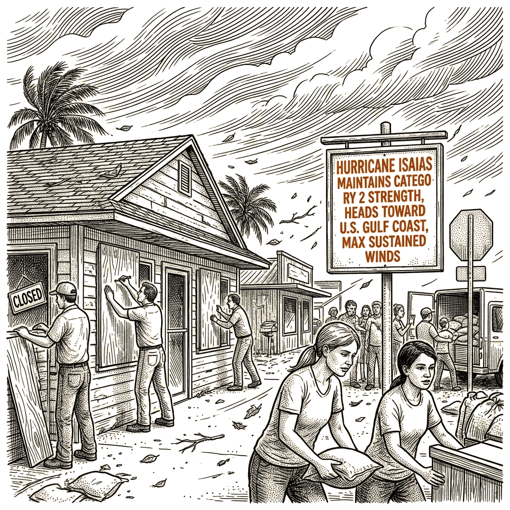
Storm surge up to 7 feet forecast for Mississippi, Florida
Hurricane Isaias held Category 2 strength into Friday morning with maximum sustained winds of 105 mph, according to the National Hurricane Center’s 1 a.m. CDT update. At that time, the storm was located about 320 miles north-northeast of Progreso, Mexico, and 230 miles south of the mouth of the Mississippi River, moving northeast at 14 mph.
Isaias is the first hurricane of the year in the Atlantic basin, a development that arrived despite the strong El Niño conditions that have generally kept wind shear high across the Atlantic through the season. Low wind shear in the Gulf of Mexico has been favoring Isaias, though the hurricane center noted that higher wind shear closer to the Gulf states could weaken the storm before landfall.
A hurricane warning covered the coast from Ocean Springs, Miss., to the Bay/Gulf County Line, Fla. A tropical storm warning extended from the Jefferson/Plaquemines Parish Line in Louisiana west of Ocean Springs, and from east of the Bay/Gulf County Line to the Aucilla River, Fla. A storm surge warning was in effect from the mouth of the Mississippi River to the Suwannee River, with a storm surge watch continuing to Yankeetown, Fla.
Forecasters warned that the combination of a dangerous storm surge and the tide would inundate normally dry coastal areas. From Ocean Springs to Indian Pass, including Mobile Bay, the surge could reach 7 feet at high tide, while Indian Pass to the Steinhatchee River could see up to 6 feet. “The deepest water will occur along the immediate coast in areas of onshore winds, where the surge will be accompanied by large and dangerous waves,” the hurricane center said, adding that surge-related flooding will depend on the tide cycle and could vary greatly over short distances.
Damaging hurricane-force winds were expected across portions of the Florida Panhandle, southern Alabama, and southern Mississippi. Isaias was forecast to turn toward the north later Friday and, on its projected track, approach the U.S. northern Gulf Coast later in the day and make landfall within the warning area Friday night or early Saturday, the center said.
Through the weekend, the storm is expected to drop 4 to 8 inches of rain across southern Alabama, the Florida Panhandle, the Big Bend region, and southwest Georgia, with localized totals up to 15 inches possible across the Florida Panhandle and Big Bend. The coastal Carolinas could receive 3 to 5 inches of rain, with localized totals up to 8 inches possible, while the remainder of the Southeast was forecast to see 1 to 3 inches with localized amounts up to 5 inches.
Florida Gov. Ron DeSantis declared a state of emergency for 25 counties Tuesday, telling residents to prepare their disaster plans and stock hurricane supply kits, CNN reported. State emergency teams are staging generators, fuel, food, water, and flood barriers in Tallahassee, Santa Rosa, and surrounding areas. In the Gulf of Mexico, Shell and BP are evacuating nonessential personnel from offshore platforms, CNN reported.
Heavy rain was also expected to reach the Ohio Valley as far north as Kentucky and West Virginia before pushing into the Carolinas and southern Virginia, USA Today reported.